
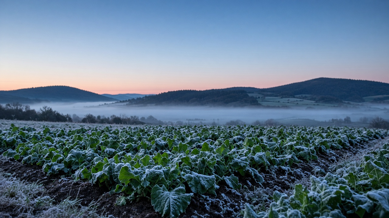
Frost can form on grass and plants when the temperature in the forecast stays above freezing. That’s a bit puzzling at first, isn’t it? You might also wonder why a local NWS forecast office can warn for that frost even when the overnight lows look like they will stay above freezing. This post explains both of those questions, and what Precip shows for your locations.
How frost forms
Frost is the ice that forms on a cold surface. It typically comes from water vapor in the air that turns into ice crystals when it comes in contact with a surface at or below 32°F (0°C).
This change is called deposition, where the water vapor converts directly to ice and skips the liquid step.
It can also start as dew that cools below the freezing point and converts to frost.
On a clear night, the ground loses heat to the sky. Clouds act like a blanket. They send some of that heat back down. Clear skies let the surface cool faster.
Calm air also helps. Wind mixes warmer air down to the ground. Little or no wind lets the cold air stay at the surface. Cold air is heavy, so it also collects in low places, such as a valley or a low field.
Frost when the temperature is above freezing
Grass, car windows, and metal roofs lose heat quickly. They can reach 32°F before the air around them does. This is one of the reasons why you can see frost on the surfaces even when the air temperature is still above freezing.
The National Weather Service explains this in its guide to dew and frost.
Where temperature forecasts can be misleading
Another common reason why you might see frost even when forecast values stay above freezing is that forecasts aren’t built to model the exact spot you’re at. Forecasts report temperature at two meters above the surface, where the air might be slightly warmer than at ground level. They also give one value for an area that is usually 3 to 30 kilometers wide, missing out on some of the hyper-local terrain effects. Some locations in the forecasted area will be colder and some warmer.
Frost advisories from NWS
A local National Weather Service office watches a specific area. They study the computer models, but they also apply human judgment using what they know about their local forecast area. Forecasters look at the clouds, the wind, the moisture, and nearby weather observations. They know which valleys and fields get cold first and issue warnings when they believe frost is likely to form anywhere in their forecast area.
Use Precip to watch out for frost
When a local office issues a frost advisory or a freeze warning, Precip shows that alert for locations in the alert area. You can also get notified for any weather alerts by turning them on in your account Settings.
You can also see the frost probability for any of your saved locations. This number is the chance that the forecast air temperature will reach a threshold. Precip shows three thresholds. Light frost is 36°F (2°C). Frost is 32°F (0°C). A hard freeze is 28°F (−2°C). The percentage is the share of model runs that reach that temperature. A value of 100% means the runs agree. A lower value means fewer runs agree.